HIKING AND TREKKING
HIKING AND TREKKING
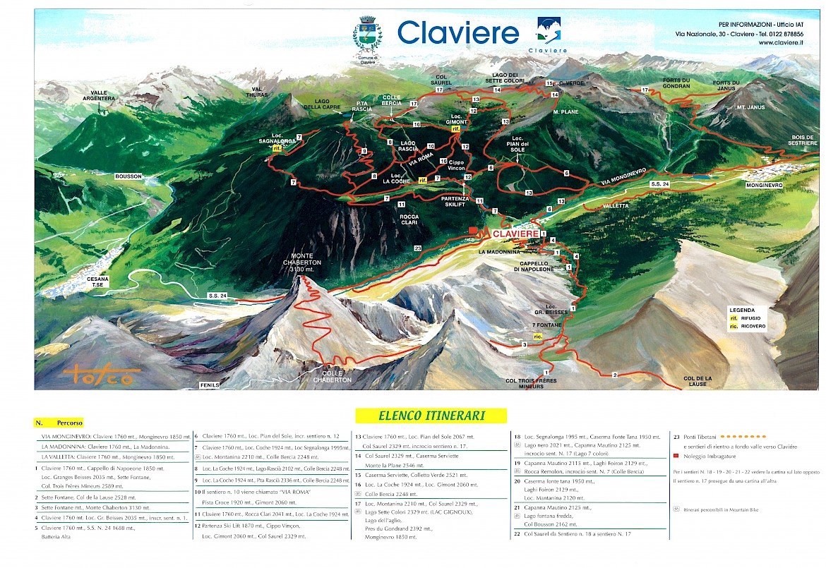
Claviere’s unique position, straddling some of the most beautiful valleys of the Italian Western Alps and the French Hautes Alpes, makes it an ideal starting point for relaxing walks as well as more challenging hikes.
Nature trails along the Rio Secco, Piccola Dora and Rio Gimont mountain streams are a great way to get close to the flora and fauna of the valley floor, and the new ‘suspended’ paths created through the San Gervasio gorges invite you, through the exciting experience of the Tibetan bridge and the vie ferrate, on a journey of discovery of the varied Alpine geology and untamed beauty of little-known areas.
More experienced trekkers can immerse themselves the enchanting high-altitude mountain scenery, where the brief Alpine summer explodes into a kaleidoscope of flowers with glimpses of exposed rock and remains of human and military settlements. Mount Chaberton, crowned by the ruins of an Italian fortification, is a classic destination of one such fascinating hike. Download the map of hiking paths in high resolution.
The larch in its vegetative rest, awaiting springtime
Stone pine or Swiss pine
Carta escursionistica digitale
Istruzioni per l’installazione dell’app Avenza Maps e della carta digitale gratuita.
Installare l’applicazione AVENZA MAPS sul dispositivo (scaricabile gratuitamente):
PER SISTEMA OPERATIVO iOS
PER SISTEMA OPERATIVO ANDROID
Aprire l’applicazione, recarsi nella sezione store/negozio, cercare la mappa con nome “Claviere”, cliccare su gratis e poi su download
- attivare il GPS del telefono e aprire la cartina
- Il pallino blu indica la posizione attuale
Nell’elenco delle mappe si visualizzerà anche una mappa denominata “Iniziare”, utile a comprendere le funzionalità dell’app.
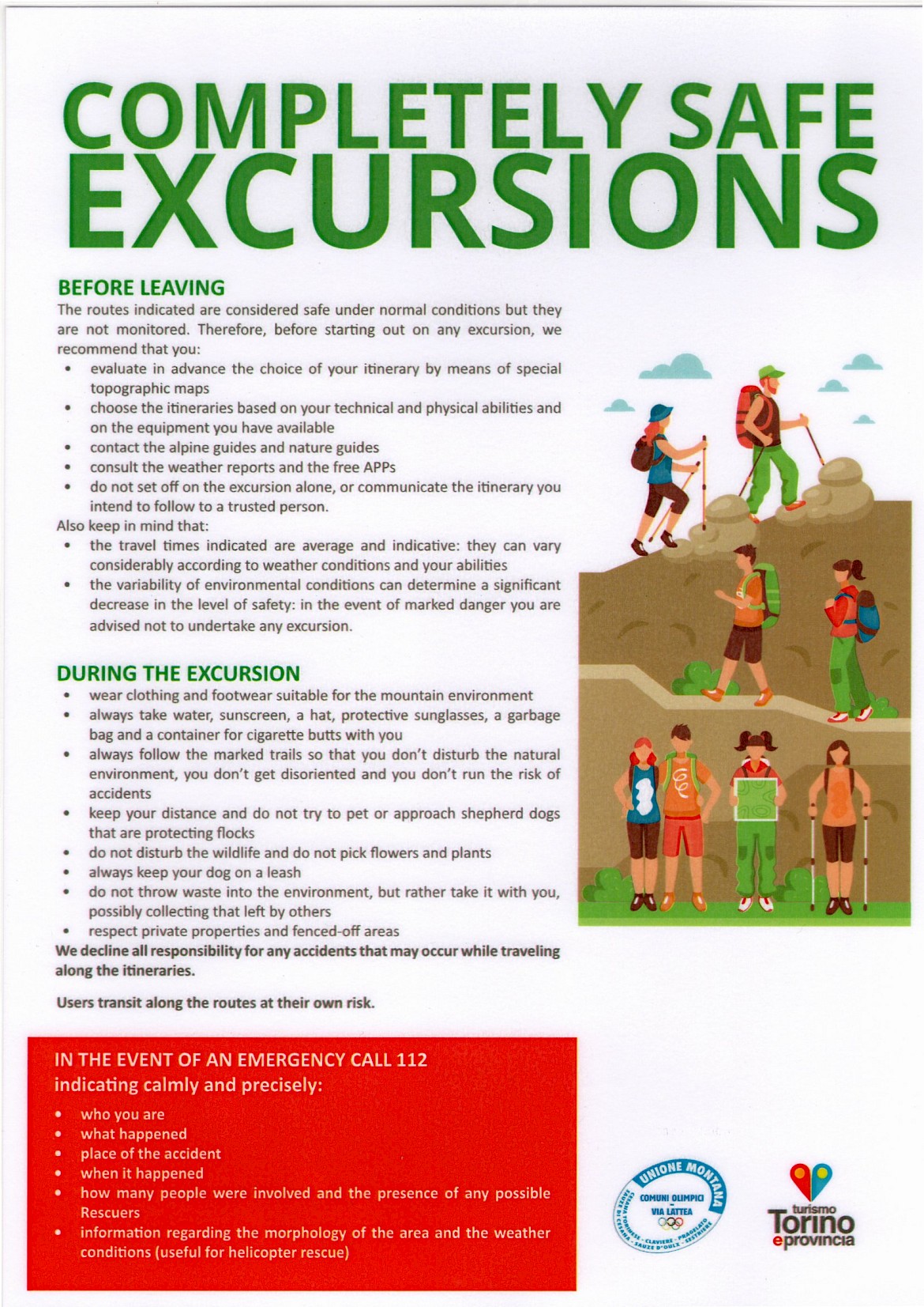
Completely safe excursions